Province of Pangasinan

Province of Pangasinan

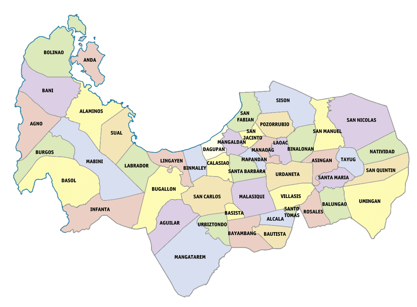
Pangasinan is a province in the Philippines situated in the Ilocos Region occupying the northwestern section of Luzon. Its capital is the Municipality of Lingayen.
The province has a land area of 5,450.59 square kilometers or 2,104.48 square miles. Its population as determined by the 2020 Census was 3,163,190. This represented 59.67% of the total population of the Ilocos Region, 5.09% of the overall population of the Luzon island group, or 2.90% of the entire population of the Philippines. Based on these figures, the population density is computed at 580 inhabitants per square kilometer or 1,503 inhabitants per square mile.
Demographics
Population by age group
According to the 2015 Census, the age group with the highest population in Pangasinan is 5 to 9, with 315,402 individuals. Conversely, the age group with the lowest population is 75 to 79, with 31,795 individuals.
details
Combining age groups together, those aged 14 and below, consisting of the young dependent population which include infants/babies, children and young adolescents/teenagers, make up an aggregate of 31.63% (935,308). Those aged 15 up to 64, roughly, the economically active population and actual or potential members of the work force, constitute a total of 62.24% (1,840,263). Finally, old dependent population consisting of the senior citizens, those aged 65 and over, total 6.13% (181,155) in all.
The computed Age Dependency Ratios mean that among the population of Pangasinan, there are 51 youth dependents to every 100 of the working age population; there are 10 aged/senior citizens to every 100 of the working population; and overall, there are 61 dependents (young and old-age) to every 100 of the working population.
The median age of 25 indicates that half of the entire population of Pangasinan are aged less than 25 and the other half are over the age of 25.
Age groupPopulation (2015)Age group percentageUnder 160,2042.04%1 to 4251,2718.50%5 to 9315,40210.67%10 to 14308,43110.43%15 to 19287,8829.74%20 to 24258,7578.75%25 to 29226,8077.67%30 to 34208,4957.05%35 to 39193,5946.55%40 to 44171,3615.80%45 to 49157,9425.34%50 to 54133,4614.51%55 to 59112,7873.81%60 to 6489,1773.02%65 to 6970,3092.38%70 to 7445,6501.54%75 to 7931,7951.08%80 and over33,4011.13%Total2,956,726100.00%
-
Youth Dependency Ratio: 50.82
-
Old Age Dependency Ratio: 9.84
-
Total Dependency Ratio: 60.66
-
Median Age: 24.93
Click on or hover over the bars to see the population of each age group.
Individual age groupsAggregate age groups
Historical population
The population of Pangasinan grew from 442,521 in 1903 to 3,163,190 in 2020, an increase of 2,720,669 people over the course of 117 years. The latest census figures in 2020 denote a positive growth rate of 1.43%, or an increase of 206,464 people, from the previous population of 2,956,726 in 2015.
detailsCensus datePopulationGrowth rate1903 Mar 2442,521–1918 Dec 31565,9221.57%1939 Jan 1742,4751.37%1948 Oct 1920,4912.23%1960 Feb 151,124,1441.77%1970 May 61,386,1432.07%1975 May 11,520,0851.87%1980 May 11,636,0571.48%1990 May 12,022,0562.14%1995 Sep 12,178,4121.41%2000 May 12,434,0862.41%2007 Aug 12,645,3951.15%2010 May 12,779,8621.82%2015 Aug 12,956,7261.18%2020 May 13,163,1901.43%PopulationGrowth RateLineBar
The total number of registered voters or electorate in Pangasinan for the year 2019 was 1,946,692.
National roads
As of December 2016, the National Roads in Pangasinan are:
Primary Roads
-
Bakit-Bakit Junction-Umingan Road
-
Judge Jose de Venecia Sr. Avenue
-
Manila North Road
-
Pangasinan-La Union Inter-Provincial Road
-
Pangasinan-Nueva Ecija Road
-
Pangasinan-Nueva Vizcaya Road
-
Pangasinan-Tarlac Road
-
Pangasinan-Zambales Road
-
Urdaneta Junction-Dagupan Road
-
Urdaneta Junction-Dagupan-Lingayen Road
-
Urdaneta Junction-Lingayen Road via Zambales
Secondary Roads
-
Alaminos-Bolinao Road
-
Alaminos-Lucap Road
-
Calasiao Old Road
-
Camiling-Wawa-Bayambang-Malasiqui-Santa Barbara Road
-
Carmen Junction-Bayambang-Manat Road
-
Carmen Junction-Manat Road
-
Dagupan-Bonuan-San Fabian Road
-
Labrador Diversion Road
-
Mangaldan-Manaoag-Binalonan Road
-
San Carlos-Calasiao Road
-
Santa Barbara Old Road
-
Santa Barbara-Mangaldan Road
-
Villasis-Malasiqui-San Carlos Road
Tertiary Roads
-
Alaminos By-Pass Road
-
Alaminos-Cadre Road
-
Bani-Agno Road
-
Bayambang Cadre Road
-
Binalonan-Asingan-Santa Maria Road
-
Binmaley Beach Road
-
Binmaley-Lingayen via Quibaol Road
-
Burgos-Agno Road
-
Judge Jose De Venecia Boulevard Extension Road
-
Judge Jose De Venecia Service Road
-
Lingayen Cadre Road
-
Lingayen Capitol Loop (Left)
-
Lingayen Capitol Loop (Right)
-
Lingayen-Labrador Diversion Road
-
Manaoag Cadre Road
-
San Nicolas-Natividad-San Quintin-Umingan-Guimba Road
-
Tayug Cadre Road
-
Urdaneta Junction-Lingayen Diversion Road (Perez Boulevard)
Notes
-
Unless otherwise specified, population count (excluding percentages) and land area figures are derived from the Philippine Statistics Authority.
-
Data on registered voters is from the Commission on Elections.
-
Maps utilize OpenStreetMap data available under the Open Data Commons Open Database License.
-
Data on National Roads is from the Department of Public Works and Highways.
0 Likes0 Replies-
Manigo Lifehomes Balungao Pangasinan