A Brief History of Leyte

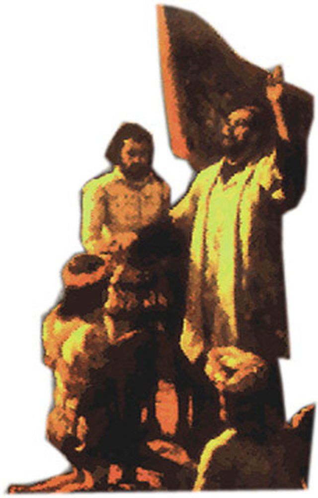
In 1521, Magellan sailed from the island of Homonhon, Samar to the island of Limasawa, Leyte, where the first recorded blood compact was held between Rajah Kolambu and Magellan on March 29 of the same year. Leyte was named “Felipina” by Ruy Lopez de Villalobos, the Spanish navigator, after King Philip of Spain, in February 1543. The name was later given to the whole archipelago. Leyte suffered from the separate raids of Muslims Sultans, Pagdalanum Buhiran and Kudarat, and Suluans. Aside from the Muslim raids, Datu Bankaw of Limasawa and his son Pagali, revolted against the Spanish conquistadors but superior Spanish arms quelled them. In 1735, it became a politico-military province, with Samar under its jurisdiction. Samar and Leyte were separated in 1768. The first capital of Leyte was Carigara then Palo, Tanauan, and finally, Tacloban. During the liberation of the Philippines from the Japanese Imperial Forces, the American troops led by General Douglas MacArthur and President Sergio Osmena landed at Palo, Leyte on October 20, 1944.
VISION
A progressive Province of Leyte with empowered people, living in a sustainable environment with safer, adaptive and disaster-resilient communities and a developed agro-industry, anchored on entrepreneurship, a center and supplier of renewable energy, a leading Information and Communication Technology (ICT) service provider, and a historico-cultural tourism zone
-
Land Area: 5,712.80 sq. km.
- (26.66% of Eastern Visayas’ total land area of 21,431.10 sq. km.)
-
Three Cities (3 )
-
Tacloban City (HUC)
-
Ormoc City (Chartered)
-
Baybay City (Component)
-
-
40 Municipalities
- (5 congressional districts)
-
Number of barangays
-
Leyte: 1,393
-
Tacloban City: 138
-
Ormoc City: 110
-
-
Population: 2015 Census
-
Leyte: 1,724,679
-
Tacloban City: 242,089
-
Ormoc City: 251,031
-
-
Labor Force Participation Rate
- 67.90% – equivalent to 861,342
(15 years old and over)
- 67.90% – equivalent to 861,342
-
Employment Rate: 93.89%
-
Land Use Classification
-
Agricultural land: 345,067 has.
-
Built-up area: 33,807 has
-
Special Land Use: 9,721 has.
-
Timberland: 164.233 has.
-
Mangrove and Wetland: 18,452 has.
-
———
1 Like0 Replies-
Living in Leyte: Guide to your new home

Active
Boosted
₱ 11.6 million
Ormoc, Leyte
For Sale Pre-Selling Single Attached House 5 Bedrooms 3 Bathrooms 146 sqm.

Active
Boosted
₱ 5.71 million
Ormoc, Leyte
For Sale Pre-Selling Single Detached House 3 Bedrooms 2 Bathrooms 66 sqm.

Active
In Demand
₱ 3.00 million₱ 6,423/sqm
Tacloban, Leyte
For Sale Residential 467 sqm.

Active
₱ 95,000/month
Tacloban, Leyte
For Rent / Lease Long term Retail

Active
₱ 6.92 million
Ormoc, Leyte
For Sale Pre-Selling Single Detached House 4 Bedrooms 3 Bathrooms 85 sqm.

Active
In Demand
₱ 3.80 million₱ 28/sqm
Capoocan, Leyte
For Sale Agricultural Farm 13.2 hectares


Active
₱ 9.00 million
Palo, Leyte
For Sale Pre-Selling Residential Condominium 2 Bedrooms 1 Bathroom 43 sqm.

Active
₱ 4.58 million
Ormoc, Leyte
For Sale Pre-Selling Single Attached House 5 Bedrooms 3 Bathrooms 146 sqm.

Active
In Demand
₱ 2.03 million
Ormoc, Leyte
For Sale Single Attached House 2 Bedrooms 1 Bathroom 48 sqm.

Active
₱ 6.00 million
Jaro, Leyte
For Sale Ready for Occupancy (RFO) Single Attached House 2 Bedrooms 2 Bathrooms 230 sqm.


